With the exception of two shots, all photographs of our sojourn, including the one above, were taken by Alice McCormick. These visuals provided inspiration for the accompanying narrative.
Never had outdoor grilled cheeseburgers tasted so exquisite.
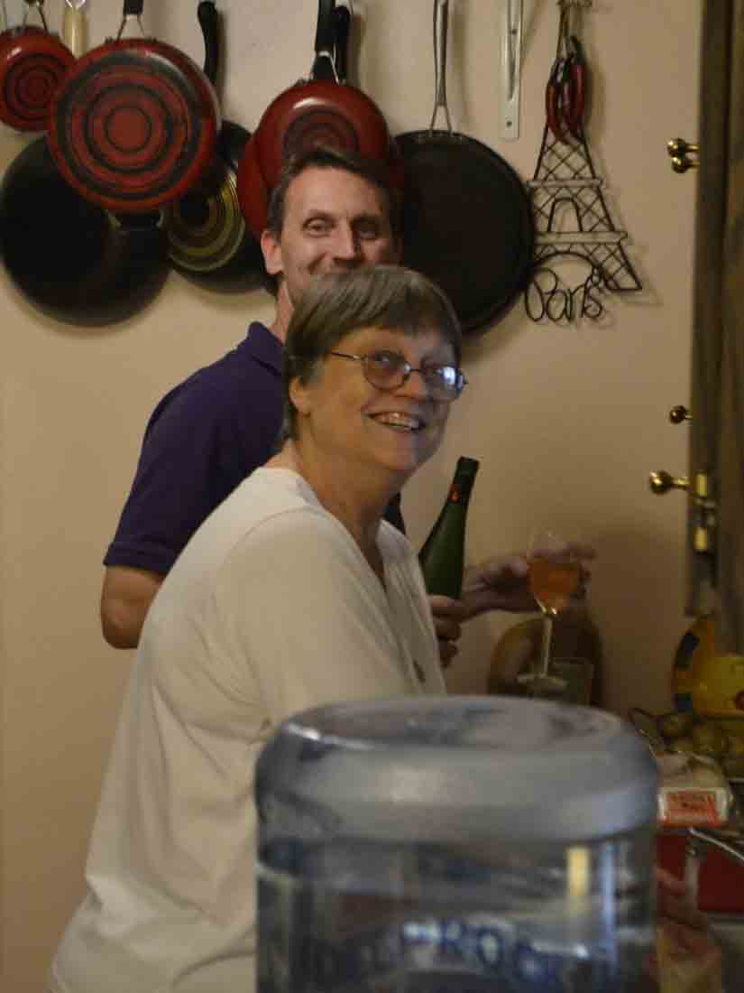
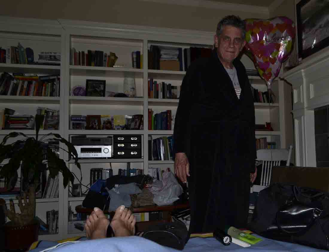
My brother’s first family – Mary and Sean – set a grand dinner table for their welcoming feast with burgers, red wine and accompaniments to “beat the band.” The combination of congenial smoke (Sean doesn’t partake) and wine opened the door for an evening of family revelations, punctuated by consumption of a thoughtfully prepared meal. And our cat, Millie, was able to run free around the townhouse, although her delight was tempered by a feline resident, Bear, who issued occasional hisses of displeasure.
The six-hour mountainous drive from Bailey had been complicated by more than the omnipresent CHECK ENGINE light. Since we left Topeka, Kansas, an irritation around my left eye had caused it to partially close, causing Alice to employ psychological gambits to mitigate my fear of impending doom.
Over the next two days, my eye problem was diagnosed in Grand Junction’s urgent-care center as a developing sty, and medication was prescribed to ease it away. As for the CHECK ENGINE light, the local Ford dealer regarded it as little more than a nuisance aggravated by needed updates to its computer brain center. When I picked up the car the next day, the light was gone. Everything was looking up!
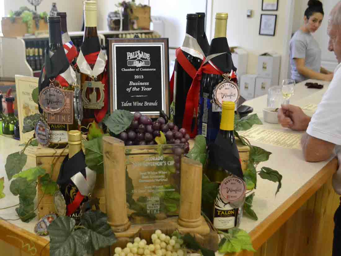
Our last day with family in the sun-splashed Grand Junction area was joyous. After lunch at a popular Mexican restaurant, we toured three wineries – Meadery of the Rockies, St. Kathryn Cellars and Talon Winery – in the adjacent town of Palisade, known for peach orchards and vineyards surrounded by towering mesas.
Our mid-September journey enjoyed fair-weather skies, warm days and cool nights. We were prepared for more good vibes until we were warned that Utah – a mere 50 miles away – has developed a reputation as a zero-tolerance state, and any degree of THC metabolites found by police in a driver’s bloodstream is subject to the harshest of penalties, including license confiscation. Even drivers who used medical marijuana within 30 days are at risk.
Alice and I saw too much downside in staying overnight in Ogden, so we cancelled our motel reservations there, opting instead for a more-expensive room in a La Quinta Inn at Twin Falls, Idaho. In addition, the drive time would take over eight hours, but why should we contribute anything to Utah’s economy considering its punitive posture regarding the use of cannabis?
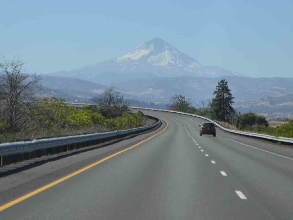
Maneuvering onto Interstate 70, we marveled how intermittently closed highway lanes due to road construction didn’t impede the flow of traffic, an impossible feat back East. And once outside the work zone, Colorado’s speed limit rose to 80 mph.

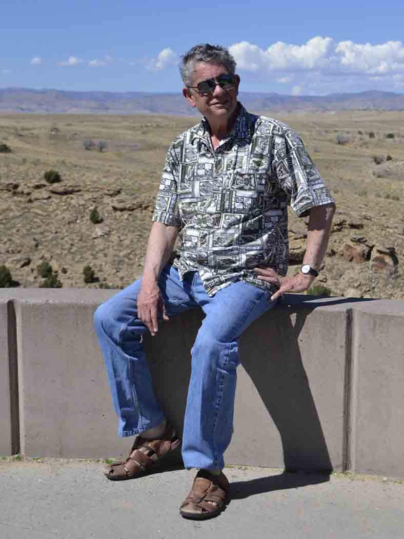
Once inside Utah, we arrived at a viewpoint turnoff, and posed for photos using the desolate landscape as a backdrop. The surrounding high-desert country was isolated from any semblance of civilization, save the concrete construction around the viewing area.
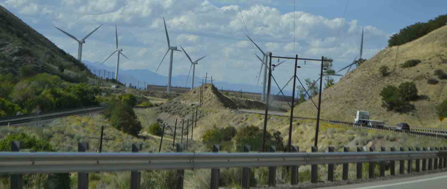
Turning onto US-6 toward Salt Lake City, we sped past several spectacular mesas until reaching the town of Price, where we alternately climbed and descended through several mountain passes until emerging past a wind farm toward the unyielding high-speed traffic of Interstate 15.
As we sped through Provo, inched through Salt Lake City’s north-end rush-hour mess to the relative calm around Ogden, we enjoyed more than 40 miles of special-lane HOV access. Bypassing the center of Utah’s largest city on I-215, we reemerged onto I-15 to navigate a construction mess where traffic crawled for half an hour until impatient Mormons reached their mall-laden exits.
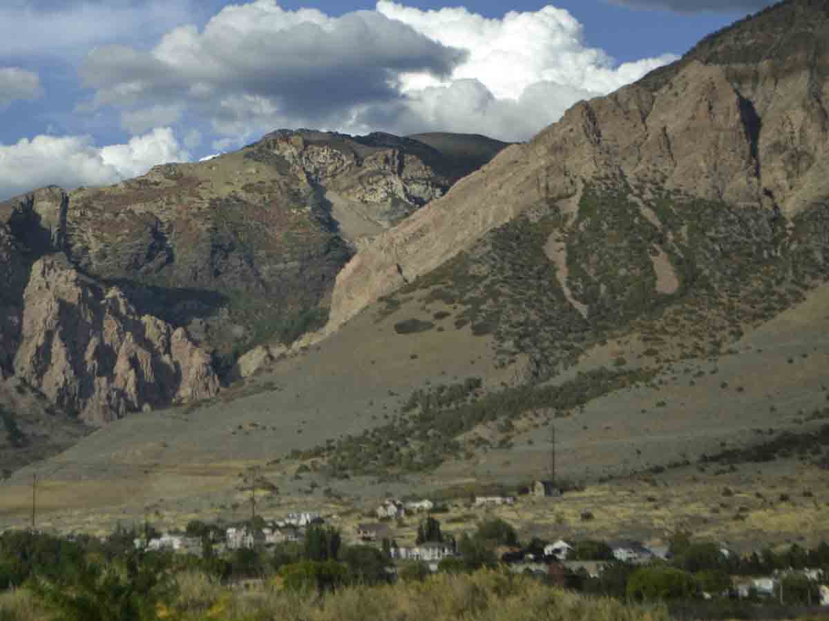
The hinterlands north of Ogden exposed breathtaking views of modest communities nestled at the base of the Wasatch Mountains, nurturing Alice’s photography ambitions. As we treated Betsy to a medium-octane filling at a typically suburban gas station, I previewed my cellphone’s RADAR NOW app to determine what lay beyond the dark clouds ahead.
It showed that a thunderstorm complex was moving eastward across Interstate 84 after its junction departing I-15. But hey, I grew up in Miami, so I could negotiate the worst of any thunderstorms, right? Bravely – and naively – I gunned the accelerator to keep pace with the traffic around us.
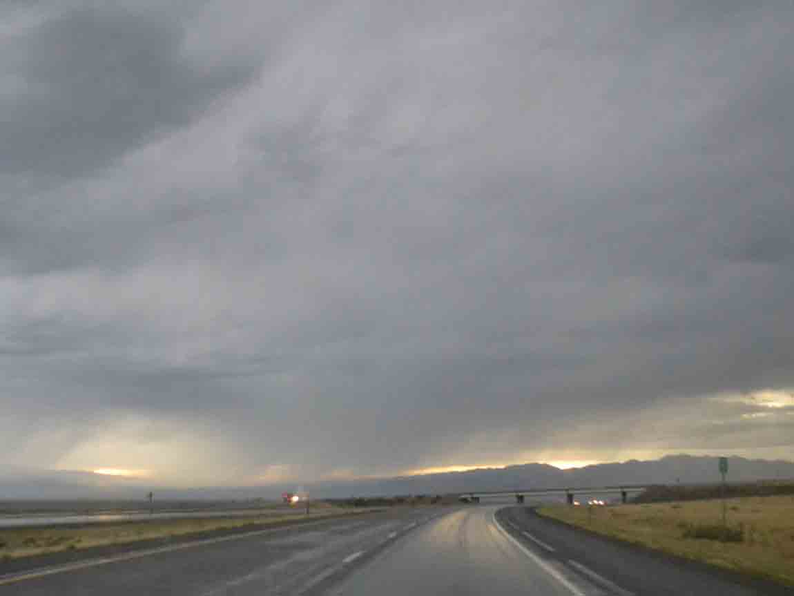
As dark clouds parted around us, a transparent telltale gray curtain of rain seemed to offer relief on the backside. Forward I drove, lightning flashed to the side, and the rain curtain seemed not so horrendous.
Did I believe “not horrendous?” The pelting sound of quarter-sized hail bounced across Betsy’s hood, reverberating through the steering wheel.
“What the hell?” I wondered. “I need to get through this downpour before the approaching thundercloud hits us. This could be worse than I imagined.”
That’s when I saw the sign, “WELCOME TO IDAHO,” and a subsequent sign that cautioned, “SEVERE STORMS AREA.”
Holy shit.
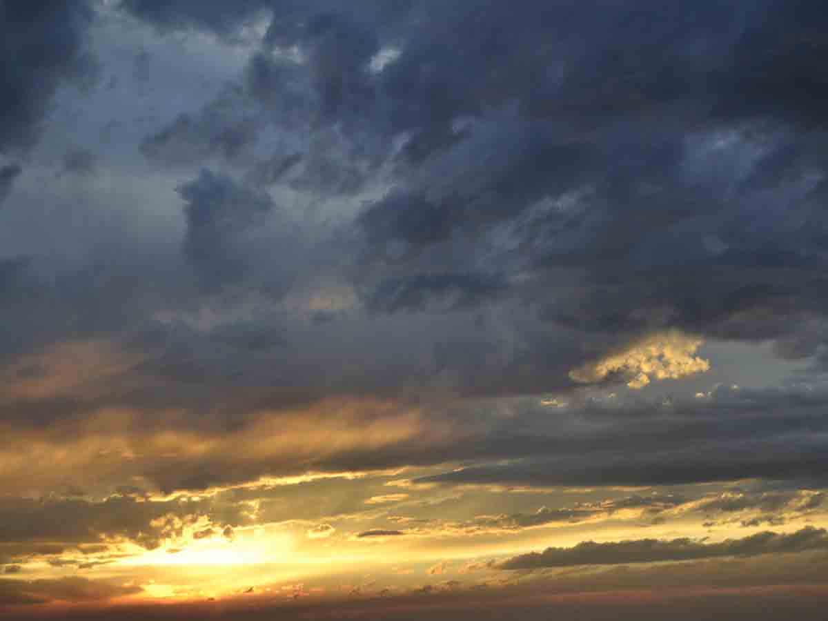
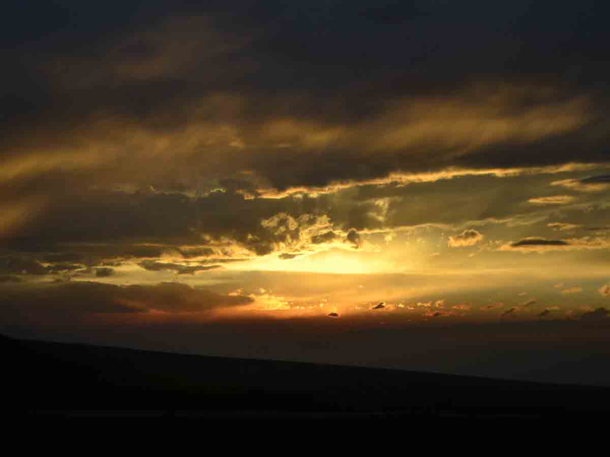
I urged Betsy on, as a wondrous sunset filled the sky, and Alice’s camera seemed to run amuck. In our entire lives, we had never seen a sky like this. The tableau of sunlight and gray clouds created an otherworldly vision; that’s how remarkable the sky became.
Other signs cautioned about sandstorms, so we counted our blessings about the wet weather until the interstate turned due west toward Twin Falls. For the next 40 miles, our Ford Escape was pelted by bugs unlike any insect barrage I’ve known. Even many drives across the Everglades of South Florida were foreign to interlopers like this.
As nighttime descended, the car’s windshield was transformed into a bizarre smeared-insect graveyard. By the time we reached the Twin Falls exit, a truck-stop gas station offered relief in the form of a man-sized squeegee. The welcome view through the windshield allowed us to navigate the proverbial hop, skip and jump to the pet-friendly room I reserved.
We were safe, starving, and our aching joints hungered for the king-sized bed La Quinta promised. Millie was merely glad to be released from her cat carrier, and in our later dreams we promised to rave about her patience amid this cross-country journey.
The last two days were mere drives compared to our ordeal through Utah. The following morning, we visited Shoshone Falls, touted as the West’s Niagara Falls, and our loquacious host – who worked for the City of Twin Falls – honored a senior lifetime pass to the national park system purchased a year before at Crater Lake, Oregon.
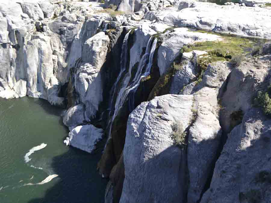
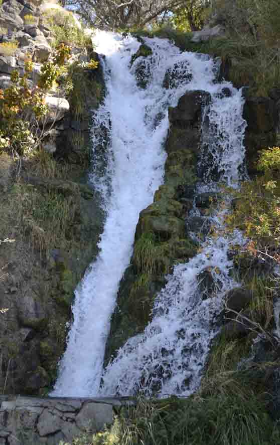
The flow of water over the falls amounted to little more than a trickle, which our unnamed host attributed to the ongoing drought in the region. But with Idaho Power reconstruction of its hydroelectric facility there, we wondered how much water was being diverted, especially since a few impromptu waterfalls tumbled freely alongside the narrow road leading into the Shoshone gorge.
No time to dwell upon that mystery, though. A six-hour drive on I-84 lay before us until our next overnight lodging. We hit the road and soon found ourselves passing through nondescript environs until we reached a truck stop outside Boise a couple of hours later.
We fed ourselves and gassed up, plus, of course, tending to Millie, as Alice would talk to her soothingly. At each rest stop along our 3,100-mile sojourn, Alice dutifully brought out the cat carrier, and opened the front of it to allow our surprisingly well-behaved tabby cat to look around but not emerge. After our respective personal needs were met, Alice would return the carrier to a designated viewpoint that allowed Millie to look at us and the changing world around the highway.
Back on the interstate, we negotiated some heavy Boise congestion through a construction zone for half an hour. Once the nuisance traffic began to flow normally, it took less than an hour to reach the Oregon state line. We’re almost there!
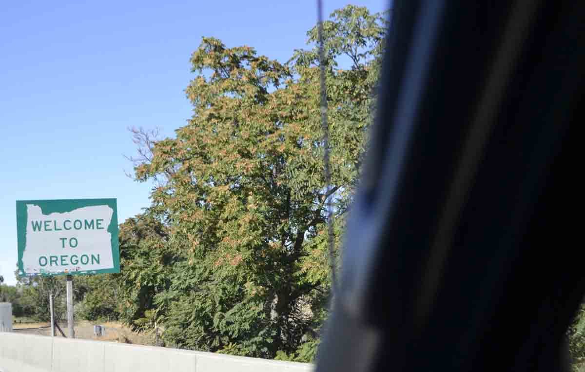
Beyond the welcome sign was a roadside center staffed by a knowledgeable, friendly Oregonian, who enthusiastically handed out oodles of brochures about anything Alice was curious about. As usual, though, I was engrossed in my mapbook, anticipating future rest stops and points of interest.
Continuing up I-84, the road headed northwest somewhat hypnotically past the towns of Baker City and La Grande as the lack of lush-green foliage on mountain ranges served as a reminder we were still in high-desert country.
Before the sun sank close to the horizon, we reached our overnight destination of Pendleton and a pet-friendly Motel 6. With recent memories of Topeka’s foreboding overnight stay and its tattooed night manager, we were relieved to find our room was clean and pleasing, although cramped.
No worries, though, because the check-in procedure was orderly, and we received a hot tip that an “excellent restaurant” called Elvis’ Bar and Grill approximately six miles away was attached to Pendelton’s private airport lobby area. The GPS led us up a winding road to the top of a viewpoint where the airport was situated.
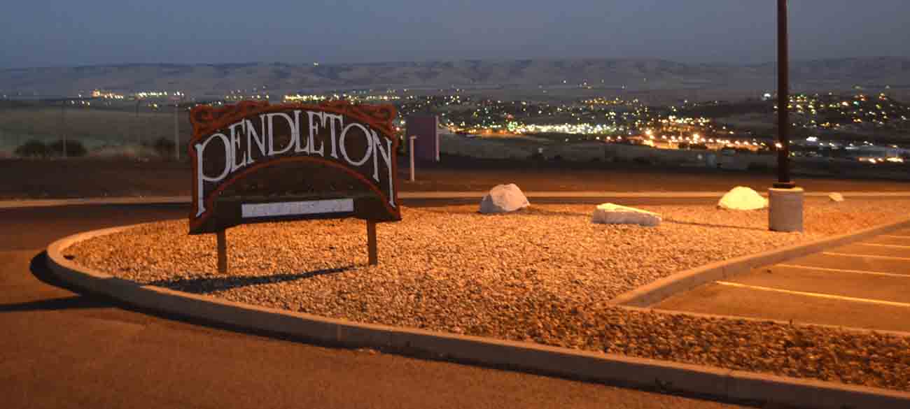
Sure enough, we found the restaurant. Elvis was the name of the woman who owned the joint, but the only thing “excellent” was the view of Pendleton. Our food was, at best, ordinary, and the waitress disinterested. The only positive note was a hearty conversation with two denizens at the bar. After virtually begging to pay our tab and get the hell out, Alice shot pictures of the town below, and we returned to our motel to recover for a final drive into Portland.
Millie woke up during the night, and so did we. Coyotes in the wild were serenading each other with a mournful wail unlike any wretchedness we ever imagined. When we awoke and packed for the three hour-plus jaunt into Oregon’s largest city, we ruefully wondered why we didn’t choose to eat at the next-door Shari’s Restaurant instead of Elvis’ place.
(Shari’s is a West Coast answer to Denny’s, and their large range of breakfast offerings are highlighted by a menu detailing each selection’s calorie count, cheerfully served. I ordered crepes filled with fruit and cream cheese while Alice opted for French toast with strawberries.)
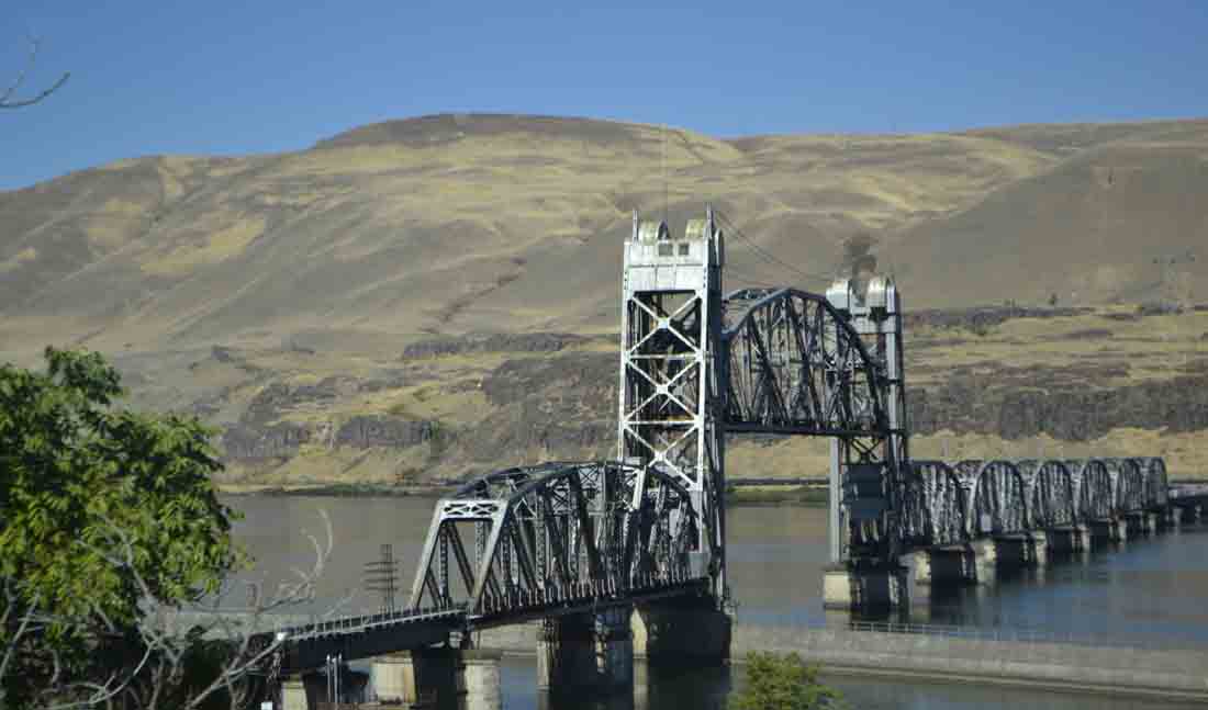
Driving ever more westward, within an hour we dropped to a few hundred feet above sea level and were treated to eye-catching views of the Columbia River as the highway wound through an increasingly dramatic gorge. As our eyes beheld the BNSF Railroad’s Celilo Bridge, Alice began snapping away.
Beyond the bridge, The Dalles dam is one of the USA’s largest hydroelectric dams and provides enough electricity to serve a million homes. Built in 1957, it submerged the Columbia River’s nearby rapids into a 24-mile-long Celilo Lake, and put the finishing touch on the U.S. Army’s forcible 1855 relocation of the area’s Native Americans. Prior to their dispossession, Native tribes inhabited the river for over 10,000 years.

The modern-day community finds favor with windsurfers, and attracts a myriad of recreational boaters to Columbia’s spectacular gorge.
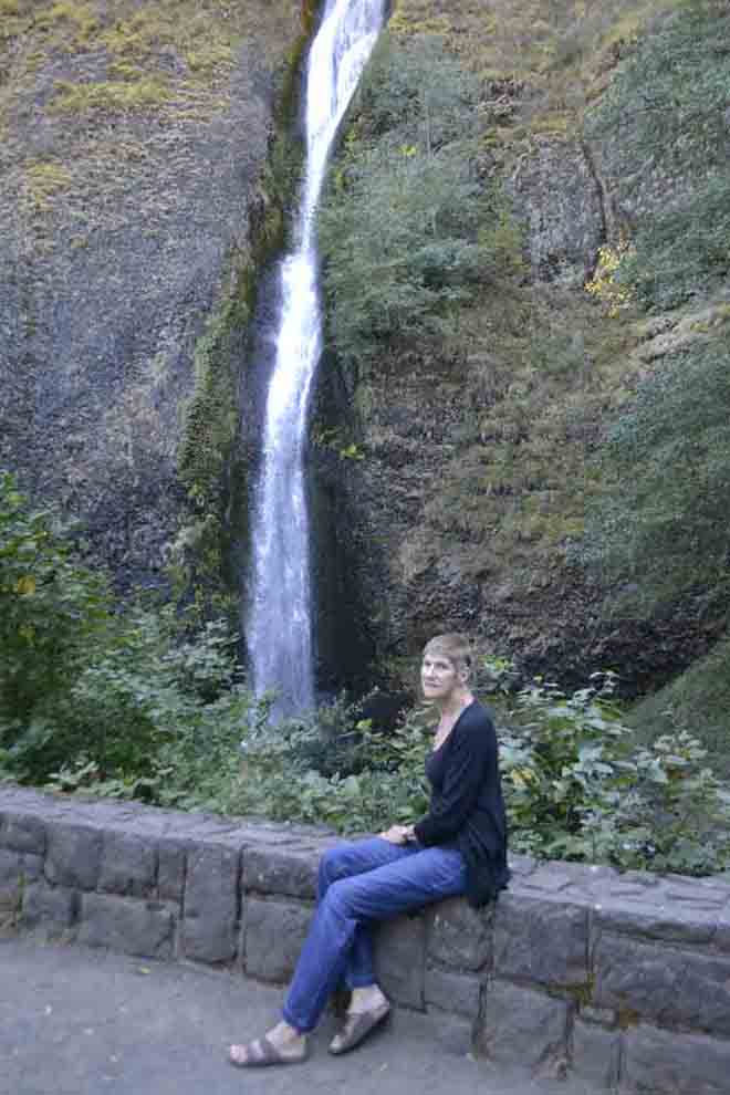
Alice and I followed the lead of many vacationers who travel the area by detouring onto the narrow, winding and precipitous U.S. Highway 30 along Multnomah Falls’ parking lots. We made a creative U-turn to park in a prime vacant spot along the road, as we competed with other sightseers on a warm, sunny Saturday afternoon.
Within an hour, we unexpectedly entered Portland’s eastern suburbs and found ourselves immersed in heavy traffic with electronic signs advising of modest delays. A few highway junctions just west of the City Center, we judiciously motored onto dedicated lanes that led us farther west on US-26.
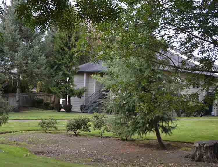
Finally, I exited the freeway and steered Betsy onto one of Hillsboro’s main streets, Brookwood Parkway, to our new home. Situated in an apartment complex directly across the street from Intel Corporation, we don’t have to worry much about security. It’s well hidden, and our particular ground-floor dwelling is more private than most.
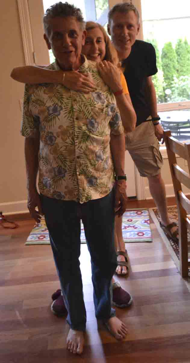
One big fly in the ointment, though. Except for what we brought in the Ford Escape, our stuff still remained in Doylestown. Not to worry, though, because my cousin Margaret lives in nearby Beaverton – along with husband Bruce and offspring Lauren, Rory and Brantley – and graciously offered a front section of their spacious two-story home for use as a crash pad.
Little did any of us know that our household possessions would remain in Doylestown for more than three weeks, that the Ford Escape’s CHECK ENGINE light would return the very next day, and our trustworthy Ford Escape would sputter and threaten to die on our third day here.
Fortunately, a Ford dealer is situated a mile away, and we limped Betsy there for diagnosis and repair. Not without running a red light, though. No less than 10 seconds went by before a motorcycle cop pulled us over. I walked up to him with my arms in a futile embrace, where upon he ordered, “Would you go back to the car, Sir?”
I explained how our car appeared to be dying, and then asked if he could provide us an escort.
“No,” he wryly replied. “You can go now.”
Nevertheless, another guardian angel was looking over us. So that Alice, Millie and I could sleep in our new home, my cousin’s family obtained an Alaska Airline pilot’s futon for us to sleep on, donated a kitchen table on which we could eat, and gifted us with two chairs upon which to sit.
We arrived at our unfurnished apartment in Oregon on Saturday, Sept. 20, and people are nice here. But where’s our stuff?
I can’t believe we made a 3100 mile journey with a cat and a car packed to overflowing. We didn’t have a disagreement and not one nasty word came out of my mouth. I didn’t even want to push Mason out of the car and down the mountainside when his alter ego, the DRAMA QUEEN, appeared several times during the trip. I must really love him.
Very nice
wonderful pics
wonderful people
Wonderful chronicle, Mason! And so many fabulous photos, Alice! I enjoyed all 3 parts very much! Looking forward to hearing about your new life out West, and hope your belongings arrive soon!
What a wonderful story. So happy you both make it there without anything going terribly wrong. Alice’s pictures say a thousand words. Your new home looks great. Very Best, Harry and Joan.